-40%
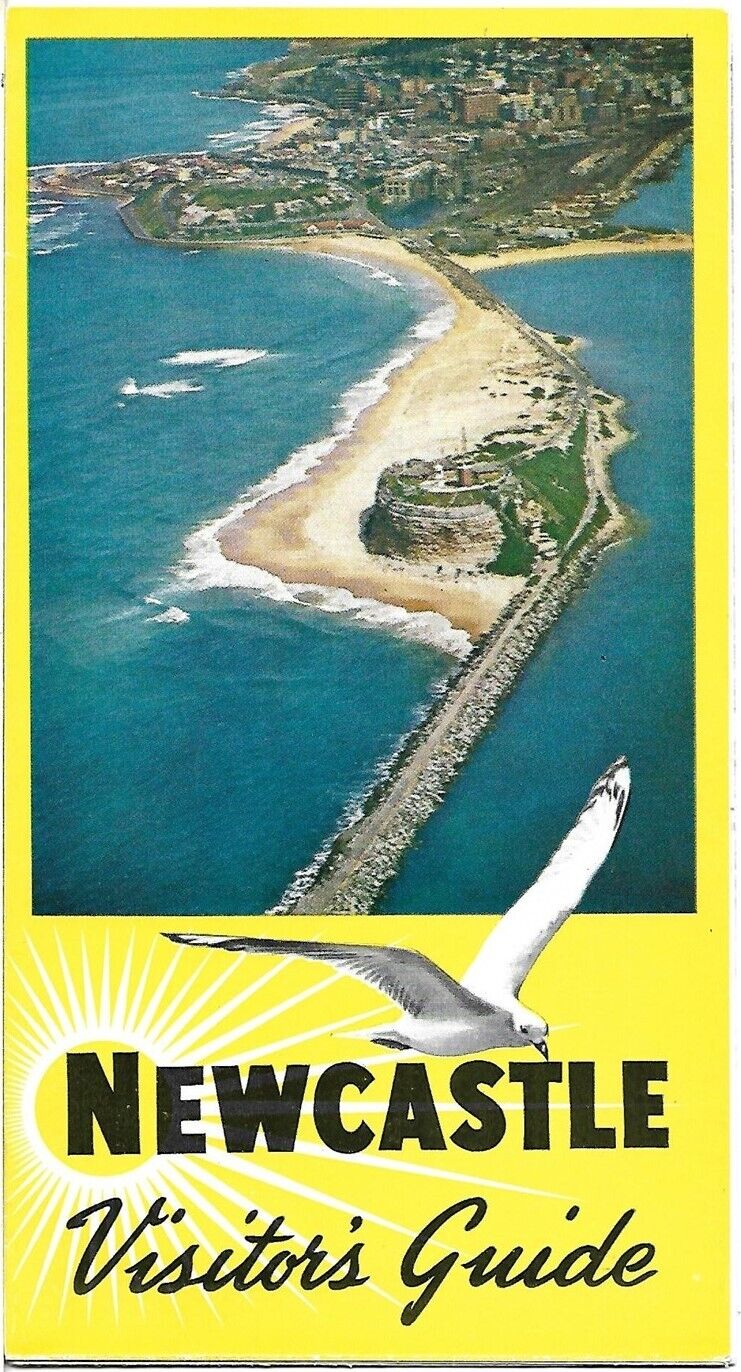
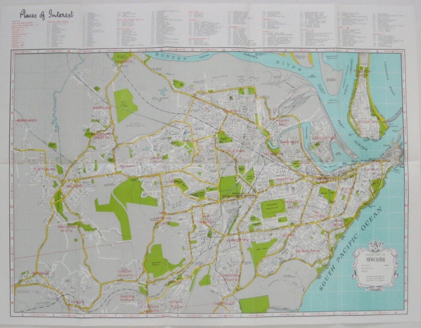
1964 Guide Map NEWCASTLE Bus Routes Railways Ferries Bowling Clubs NSW Australia
$ 5.27
- Description
- Size Guide
Description
Colorful fold-out map of the city of Newcastle, New South Wales.The map opens to a generous 47 x 62 cm [18½" x 24½"] and was published by the Newcastle City Council circa 1964.
It shows streets, neihborhoods, railways, bus routes, and ferries, with an keyed index to places of interest, including schools, churches, hospitals, parks, beaches, and bowling clubs.
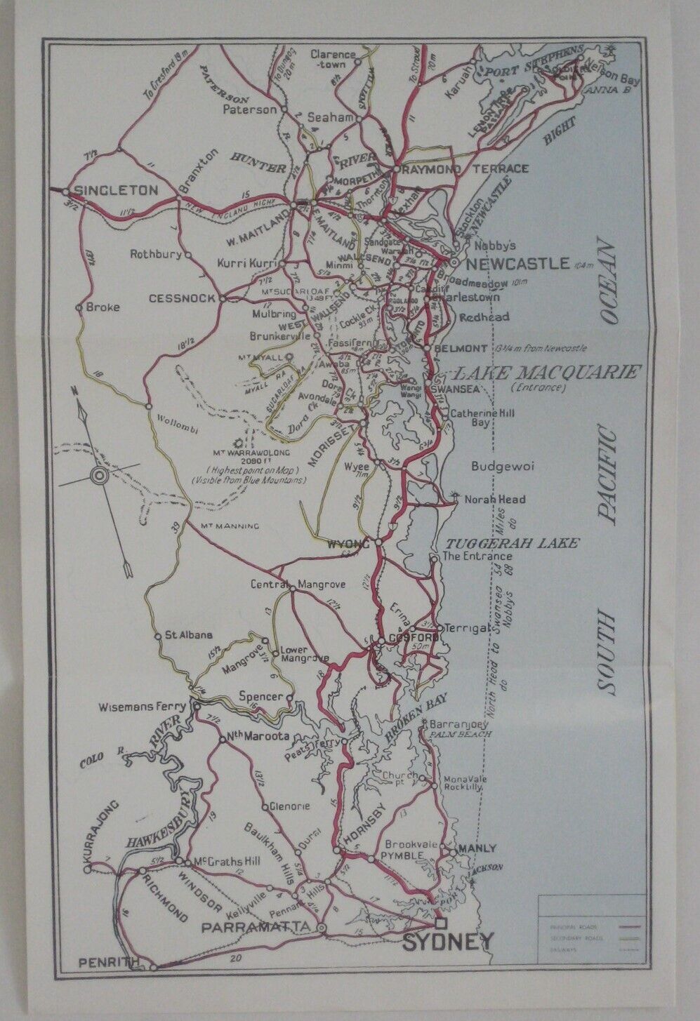
On the reverse side, there's a regional map of the roads and railways in the coastal area between Port Stephens and Sydney.
Condition:
This map is in
excellent condition,
bright and clean, with
no
marks, rips, or tears. Please see the scans and feel free to ask any questions.
Buy with confidence! We are always happy to combine shipping on the purchase of multiple items — just make sure to pay for everything at one time, not individually.
Powered by SixBit's eCommerce Solution
